

Science and Exploration
Deep Ocean Exploration: Why Going Down Is So Difficult
Explore the pressure, darkness and engineering challenges of the deep ocean, from tethered research robots to life around hydrothermal vents.
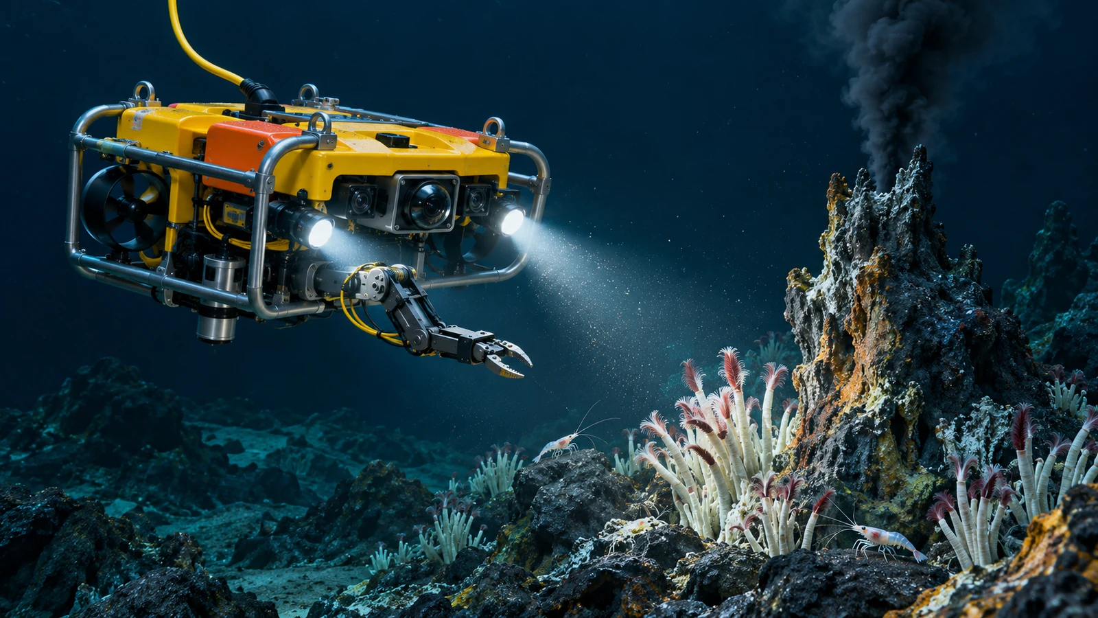
Lower a camera into the ocean and the familiar world disappears surprisingly quickly. Sunlight fades, pressure climbs and a cable may become the only connection between an expensive robot and the people operating it. Exploring the deep ocean is a problem in physics, engineering and patient observation, all at once.
At a Glance
- Pressure increases by roughly one atmosphere for every 10 metres of seawater.
- Deep-ocean exploration combines sonar, cameras, sensors and physical samples.
- A seafloor map and a close-up biological survey answer different questions.
Where Does the Deep Ocean Begin?
NOAA generally describes the deep ocean as beginning around 200 metres, where sunlight has weakened substantially. That is not a sharp boundary between daylight and total darkness. Below about 1,000 metres, sunlight is absent; much of the deeper ocean is also very cold. The conditions make it difficult to observe a landscape that cannot simply be illuminated from above. See NOAA’s explanation of the deep ocean.
A vehicle’s lamps create a local window into that darkness. They do not reveal an entire valley. This helps explain why spectacular expedition footage can still represent only a very small part of the surrounding terrain.
The Weight of the Water
According to NOAA’s pressure guide, each additional 10.06 metres adds roughly one atmosphere of pressure. As an approximate calculation, a vehicle at 4,000 metres encounters around 400 atmospheres from the water above it, plus surface atmospheric pressure. Exact values vary with seawater density and depth.
The engineering implication is easy to picture: a sealed air-filled compartment must withstand the enormous difference between its inside and outside pressures. Lights, cameras, connectors and sample containers must all be suitable for their operating depth. “Waterproof” by itself tells you very little about whether a device belongs thousands of metres down.
Why Scientists Listen Before They Look
Sound travels through seawater farther than useful light or radar signals. Sonar makes use of that advantage. NOAA explains that it supports mapping, navigation and searches for objects on the seabed. Some systems send a sound pulse and measure its return; others listen for sound already being produced. Read NOAA’s sonar introduction.
Mapping sonar can reveal the shape of a ridge or canyon and help choose where a vehicle should investigate. That is different from photographing an animal, identifying a mineral or measuring the chemistry of water. Knowing the terrain is the beginning of several investigations, rather than the completion of all of them.
The Robot at the End of the Cable
A remotely operated vehicle, or ROV, is controlled from a surface vessel through a tether. NOAA describes how that connection carries commands and returns live video and other data. Typical scientific vehicles combine cameras, lamps, sonar and environmental sensors; some also have manipulator arms for collecting specimens. Larger systems need substantial lifting equipment to launch and recover them. See how ROVs work.
Operating the vehicle is therefore a team activity involving a ship as well as a robot. A useful dive has to deliver interpretable observations or samples, then bring the equipment back. Good photographs matter, but so does recording where and under what conditions they were taken.
Life Where Sunlight Never Reaches
Some of the deep ocean’s most remarkable communities form around hydrothermal vents. Heated fluids emerge from the seafloor carrying chemicals that microbes can use as an energy source. Through chemosynthesis, those microbes support food webs that can include tubeworms, mussels and shrimp. Woods Hole Oceanographic Institution explains these communities in its hydrothermal-vent guide.
Black-smoker chimneys form as minerals precipitate when vent fluids meet cold seawater. The dark plume is not smoke from combustion. Finding thriving communities around these systems changed the scientific picture of where life can obtain energy. It does not mean the whole deep seafloor is covered with vents or equally crowded with animals.
What Counts as Exploring?
A sensible question about any “unexplored ocean” claim is: unexplored in what way? A broad terrain map, a camera transect, a collected sample and a long-term monitoring record provide different kinds of knowledge. There is no single photograph or percentage that can stand in for all four.
The same distinction matters in underwater searches for flight recorders. Finding a location is one achievement; seeing, identifying and recovering the object are others. The ocean keeps challenging us because every answer requires the right instrument—and often another visit.
Sources and Further Reading
- NOAA Ocean Exploration — What Is the Deep Ocean?
- NOAA — How Does Pressure Change with Ocean Depth?
- NOAA Ocean Exploration — Sonar
- NOAA Ocean Exploration — Remotely Operated Vehicles
- Woods Hole Oceanographic Institution — Hydrothermal Vents
References checked 13 November 2026. Original article by Verified Insights / Strike Labs. Historical reference examples are identified in the text.